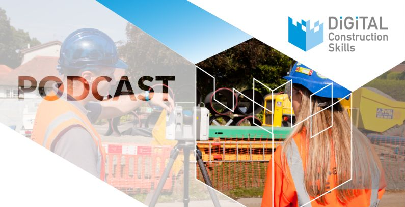
An introduction to surveying mapping and modelling software
In this podcast, we discuss survey mapping and modelling software, also known as Digital Terrain Modelling or DTM software.
Find out…
- Why, where and when we use this software on projects
- The key benefits to using this type of software for both the business and site engineering teams
- Its relationship to Building Information Modelling (BIM)
- Why DTM software should not be confused with CAD
- Why CAD is not the universal panacea for solving construction problems
- Where you’ll get the best training and support
- Why the leading contractors and clients invest in this software and who’s involved in the decision-making process
- What the barriers are to a more widespread adoption of these software solutions within the wider construction industry
- The first thing you should do if you wish to invest in surveying mapping and modelling software!
Taking part in the podcast…
- Gail McEwen, Lead Trainer at Digital Construction Skills
- Nigel Lorriman, General Manager at LSS/McCarthy Taylor
- Phil Langrishe, Co-owner and Managing Director, Applications in CADD
- Adam Ball, Applications Engineer at Leica Geosystems
- Peter Roberts, Technical Support and Training at Topcon Positoning
The questions are asked by Saffron Grant, Managing Director of Digital Construction Skills.
Listen in…
This is an edited version of the one-hour Digital Construction Skills ‘Ask the panel’ special on survey mapping and modelling software recorded on 15th March 2021. It’s around 20 minutes long and you can watch or listen to it here (links open in new windows):
Full one-hour episode on survey mapping and modelling software
You can also access the full one-hour ‘Ask the panel’ event here:
eLearning courses for site engineers
Our sister company, Setting Out for Construction , provides short, simple and easy-to-follow eLearning modules on survey mapping and modelling software eLearning. These are designed specifically for site engineers and cover all the major vendors’ products, including those from N4CE/LSS and Topcon who are featured in this podcast.
The post An introduction to surveying mapping and modelling software appeared first on Digital Construction Skills.


